Why Fishing Spots Apps Don't Work
Every angler dreams of finding that secret spot, that magic location where the bass are always biting. It's tempting to rely on apps that promise to show you exactly where someone else caught a fish. Just drop a pin, head there, and haul 'em in, right?
If only it were that simple.
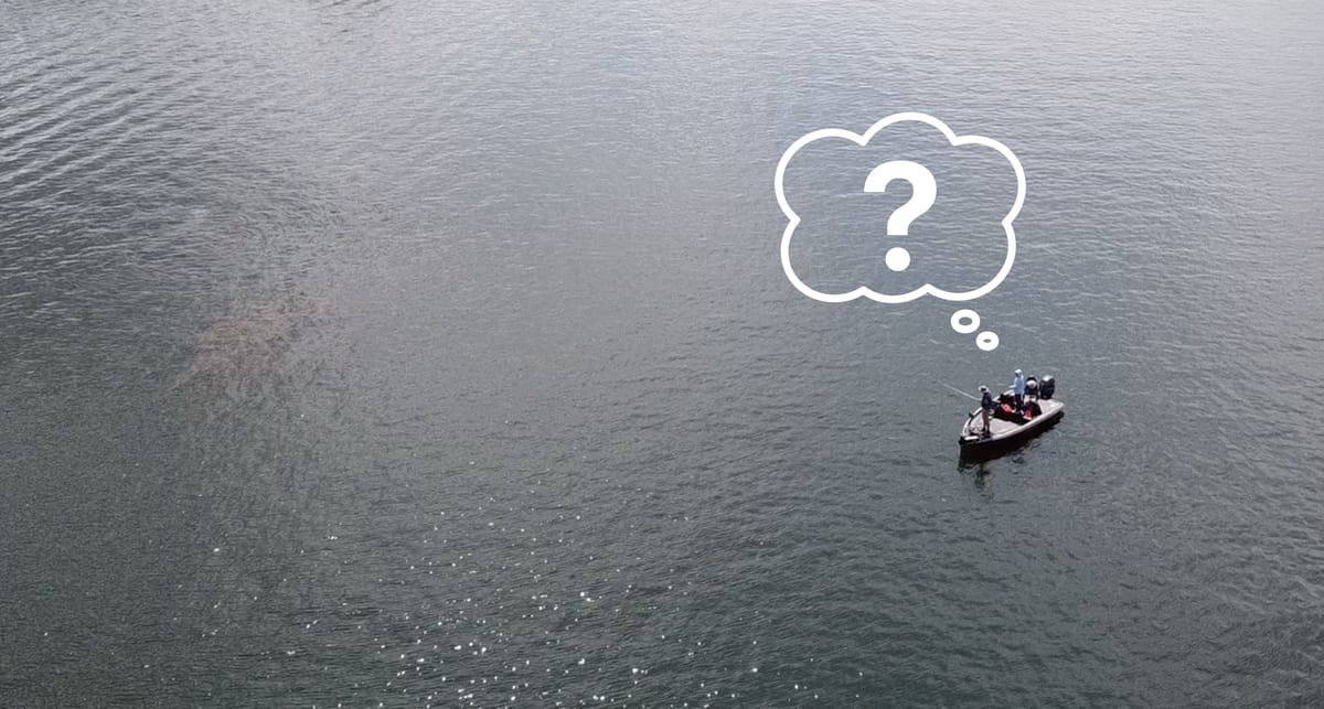
The truth is, a pin dropped on a map – a "spot" – is just a ghost. It's a snapshot of a single moment in time, completely stripped of the context that actually led to that fish catch. Relying on these spots is like trying to navigate using a map where all the roads have been erased. You know where someone was, but you have no idea how or why they were successful there, at that specific time.
The Problem with Static Spots
Think about all the factors that influence bass behavior and location on any given day:
- Weather: Was it sunny, cloudy, raining? What was the wind speed and direction? Barometric pressure rising or falling?
- Season: Were the fish prespawn, spawning, post-spawn, or in their summer/fall/winter patterns?
- Water Conditions: What was the water clarity? Was the lake level stable, rising, or falling? Was there current flow from dam discharge?
- Time of Day: Sunrise bite? Midday lull? Evening feed?
A simple coordinate on a map tells you none of this. That spot where someone smashed them during a cloudy pre-spawn morning with rising water might be a dead zone on a sunny post-spawn afternoon with stable water. Chasing that ghost spot without understanding the conditions is often a recipe for frustration and wasted time.
The Deep Dive Difference: Understanding the "Why," Not Just the "Where"
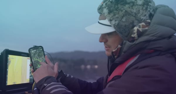
At Deep Dive , we built our app on a different philosophy. We believe that empowering anglers with comprehensive, dynamic data is far more valuable than showing them isolated, context-free spots. We focus on helping you understand why fish are positioned where they are right now and how to catch them under the current and forecasted conditions.
Instead of chasing ghosts, Deep Dive gives you the tools to become a more informed, adaptable, and consistently successful angler. Here’s how:
- Dynamic Environmental Data: We don't just give you a spot; we show you the environment.
- Lake Level & Discharge (Current Flow): See the last week's data (where available). Rising or falling water? Increased or decreased flow? These factors reposition fish constantly. A static spot ignores this crucial information.
- Detailed Weather & Solunar: Get a 7-day forecast tailored for anglers, including pressure, wind, moon phase, and feeding windows. Plan your trip based on future conditions, not just past catches.
- Actionable Intelligence, Not Just Data Points:
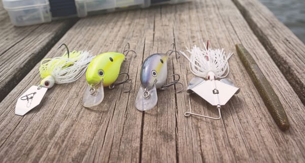
- Advanced Bait Picker: This isn't just a list of lures. Select your conditions (season, style, vegetation, species, water clarity), combine it with current or forecasted weather, and get specific strategies. We tell you the bait, color, where in the lake (general sections), what cover and structure to target (with visual examples!), how to retrieve it (with video), and even the gear to use. This is about applying the right pattern under the right conditions.
- Tournament Patterns: We analyze thousands of documented pro catches, correlating them with specific conditions (lake type, season, weather, water clarity, structure, cover, bait). When you select your lake and conditions, we show you which sections of the lake (like main lake, back of creeks, etc.) were most productive under similar circumstances and the patterns that worked. It’s pattern analysis, not random pins.
- Unprecedented Visualizations: See the water like never before.
- Water Clarity Maps: Generated from daily satellite imagery (on 150 lakes), view estimated clarity across the entire lake for the last 30 days (cloud/wind permitting). Know where the optimal clarity is before you launch, saving hours of searching. No static spot can offer this lake-wide, up-to-date insight.
- Water Inflows: See exactly where streams enter the lake, color-coded by average flow. These subtle entry points, often invisible on standard maps, are bass magnets.
- Wind Effects: Our unique visualization shows predicted wave size and direction by calculating the wind's effect on the water surface all over the lake. We also calculate the wave's effects on the bank by analyzing the size and direction of the waves and how directly those waves hit the bank. Find calm pockets or wind blown points to match your pattern.
- StreamFlow Map: Visualize NOAA's stream flow data (2 day history and 7-day forecast) directly on the map. See how inflow volumes are changing across all tributaries simultaneously, a key driver of fish location, especially in riverine sections or near creek mouths.
Stop Chasing, Start Understanding
Fishing success isn't about finding a magic spot someone else fished yesterday or last year. It's about understanding the dynamic environment and how bass relate to it under the constantly changing conditions.
Deep Dive provides the most advanced suite of data visualization tools available to bass anglers, designed to help you decipher the puzzle in real-time. We give you the insights – the lake level trends, the current flow, the water clarity variations, the wind impacts, the relevant patterns, the effective baits and techniques – that turn the entire lake into potential "spots" you can identify and capitalize on today.
Don't waste your precious time on the water chasing the ghosts of yesterday's catches. Download the Deep Dive app on iOS or Android, explore the data, and start understanding why bass are where they are. That knowledge is far more powerful than any pin on a map.