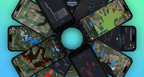
Seeing Clearly: Understanding Deep Dive's Water Clarity Maps
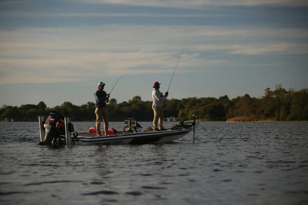
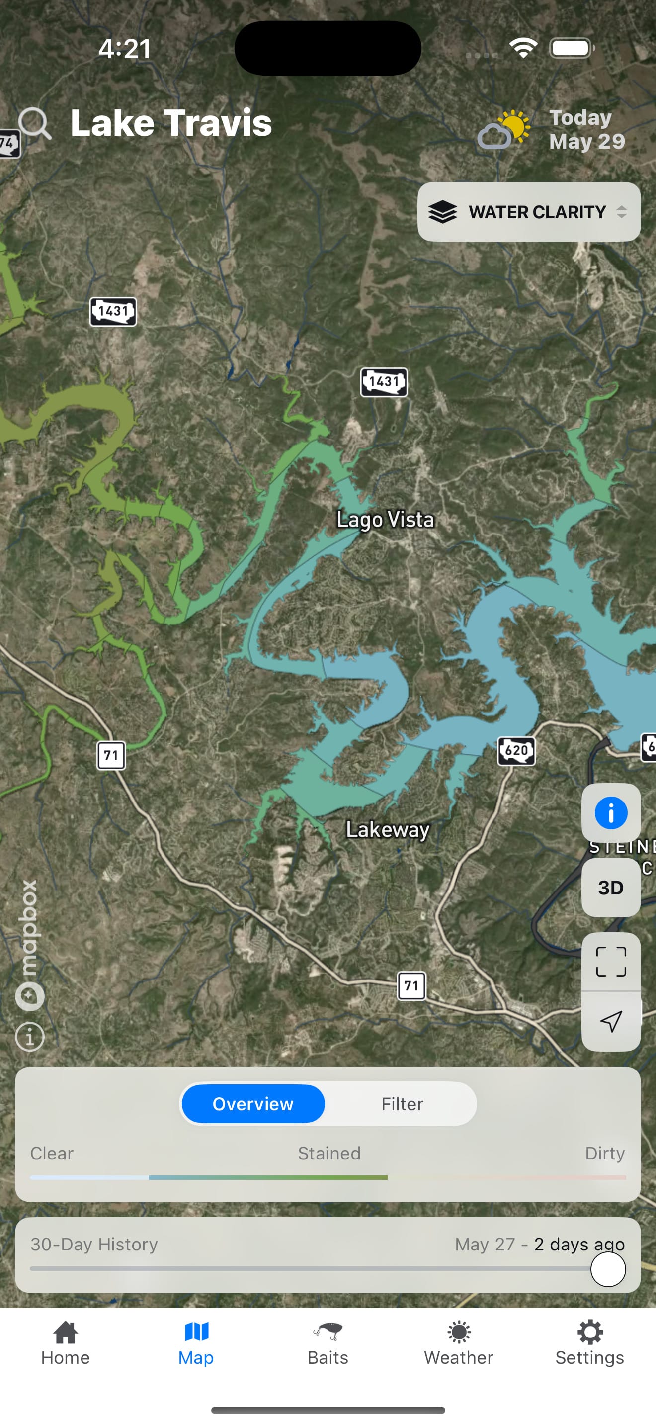
Every seasoned bass angler knows that water clarity is a critical piece of the puzzle. It dictates lure choices, presentation strategies, and even the areas of the lake fish are likely to hold. At Deep Dive, we've developed a groundbreaking solution: highly detailed Water Clarity maps for 170 lakes (and growing!).
Our goal with this feature is to provide an estimated water clarity throughout the lake, viewable day-by-day for the last 30 days. It’s designed to save you invaluable time on the water and help you pinpoint the most productive zones.
You've asked some great questions about how these maps are made and why you might not see a brand new map every single day. Let's dive into the science, technology, and the realities of satellite imagery that explain how it all works.
How We Build Your Water Clarity Map
- Accessing a Global Daily Feed of Satellite Imagery: Our process begins by tapping into a feed of daily satellite imagery through a specialized provider. This provider operates a large constellation of over 200 Low Earth Orbit (LEO) satellites, that collectively image nearly the entire Earth's surface every single day. From this vast and constantly updated global dataset, we then source the specific images for the lakes covered in the Deep Dive app. It’s important to note that while imagery is captured daily across the globe, a usable image for a specific lake on a specific day isn't always guaranteed for our detailed analysis (more on that below!).
- Strategic Sampling from Acquired Images: From the daily satellite imagery relevant to our lakes, we then strategically extract hundreds of small "sample" images from various locations across each body of water.
- Proprietary Algorithm - The "Secret Sauce": Once we have usable image samples our system applies an advanced algorithm which analyzes each sample to determine the water clarity within that specific zone.
- Interpolation - Connecting the Dots: With water clarity determined for our samples, we use a sophisticated interpolation process. This system intelligently estimates the water clarity in the areas between our sample points, creating an accurate, comprehensive water clarity estimate for the entire lake.
The Big Question: Why Isn't There a New Map Every Day?
This is where we address a common support request: "Why is my water clarity map over two weeks old?" or "It was sunny all day, why no new map?"
The answer lies in the crucial difference between a satellite passing over and capturing an image versus Deep Dive obtaining usable, high-quality data from that imagery for a specific lake, combined with our unwavering commitment to only showing you reliable information.
- The Satellite's Specific Overpass Time: The satellites providing the imagery are typically in Low Earth Orbit (LEO) on polar orbits. This means a satellite physically passes over a specific area of the Earth at a precise time on any given day it makes an overpass there. For optical imagery (the kind needed to determine water clarity), these overpasses occur at roughly the same time each day between 12pm and 2pm local time. The critical factor is the condition of the atmosphere and water surface at that exact moment the satellite is physically overhead. For us to generate a map, the imagery of the lake captured at that specific instant of its overpass must be clear enough for us to accurately estimate water clarity.
- Accuracy is Non-Negotiable: We will only generate and display a new water clarity map if the satellite imagery for that day allows us to create one that meets our high accuracy standards. If large sections of a lake are obscured in the imagery (e.g., by clouds during the satellite's overpass) or if the data quality is compromised, we cannot produce a reliable map. In such cases, the app will continue to display the most recent accurate map available. This is why a map might be several days or even a couple of weeks old – it represents the last time the available imagery allowed us to confidently map the clarity.
Common Reasons for Missing a Daily Map (Based on the Imagery We Analyze):
- Cloud Cover (During the Satellite Overpass): This is the most common culprit. Even if it's sunny on the ground for most of the day, if there was significant cloud cover over large parts of the lake at the precise time the satellite was passing overhead, the captured imagery will be obscured. So, while you might have enjoyed a mostly sunny day, the satellite's view at that key moment might have been blocked, meaning the imagery we can access is unusable for those areas.
- Image Quality & Delivery Issues: Occasionally, the imagery captured, even if cloud-free, might have other issues. This could be problems with atmospheric haze, sun glint, issues with georectifying the images (accurately mapping them to their real-world coordinates), or problems with the data delivery from our provider. If the quality of the imagery itself isn't high enough for our analysis, we can't use it.
- Heavy Wave Action: Significant chop on the water surface, often caused by high winds at the time of the satellite overpass, can distort the view as reflected in the imagery. The reflection and refraction from choppy water obscure the subtle color differences we need to analyze, making the imagery unsuitable for accurate clarity estimation.
The Deep Dive Advantage: Information You Can Trust
We understand you want the freshest data, and we're working hard to provide it. However, providing inaccurate data would be a disservice.
- Save Time & Fuel: Even if a map is a few days old, it still provides an excellent baseline of recent conditions, far better than scouting blind.
- Pattern Duplication: Use the historical data. If you found fish on a previous trip with a certain clarity, you can check the map from that day and then look for similar clarity trends on the most recent available map.
- Unprecedented Detail: When a map is available, its level of detail remains unmatched.
Constantly Evolving
At Deep Dive, we're bass anglers ourselves, and we're passionate about leveraging technology. We are always working to improve the frequency of our water clarity images by exploring ways to maximize the usability of the data we source and refining our algorithms to handle less-than-perfect conditions, without sacrificing the accuracy you rely on.