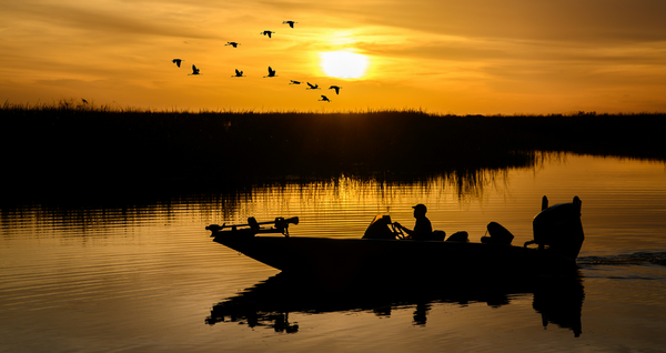
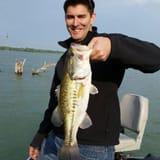
How to Target Bass with Streamflow Maps
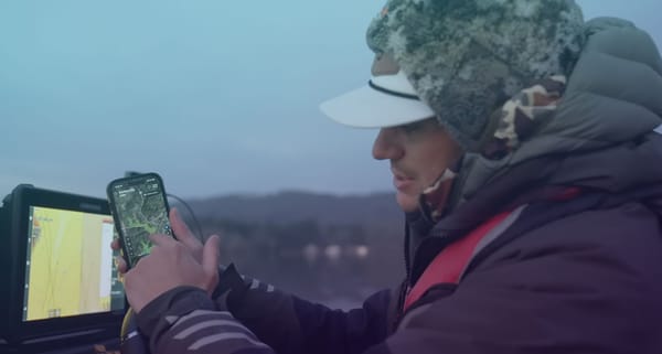
Anglers know that understanding water movement is one of the keys to fishing success. That’s why we’re excited to introduce the StreamFlow map layer in the Deep Dive app, designed to give you a detailed view of stream and river flows across the U.S. Whether you're planning your next fishing trip or refining your approach on the water, this feature will transform how you target fish and improve your catch rate. Here’s how you can use the StreamFlow map layer to catch more fish.
Why Stream Flow Matters in Bass Fishing
Stream and river flows directly influence water conditions in lakes and reservoirs. Changes in flow rates can create prime fishing opportunities by:
- Delivering nutrients: Increased stream flow carries nutrients into the water, attracting baitfish and, in turn, predatory species like bass.
- Creating oxygenated zones: Higher flow rates increase oxygen levels, drawing fish to these areas.
- Providing cover and ambush points: Fish often position themselves near inflow points to ambush prey.
With the StreamFlow map layer, you can identify these high-potential areas and adapt your strategy to changing conditions.
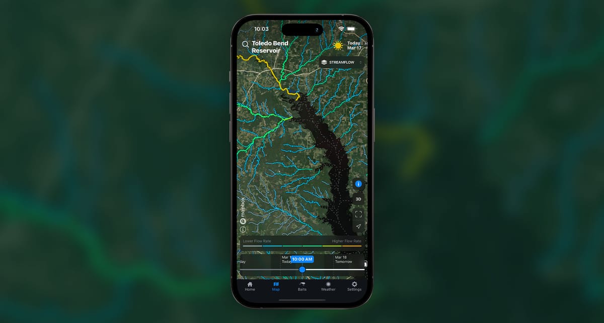
What Does the StreamFlow Map Layer Show?
The StreamFlow layer provides:
- Historical and Forecasted Data: View two days of historical flow rates and a seven-day forecast for stream flows.
- Interactive Features: Tap any stream to access detailed graphs of flow rates over time.
- Comprehensive Coverage: Visualize stream flow patterns across most U.S. streams and rivers, all in one place.
This level of detail allows you to pinpoint inflows and plan your fishing tactics accordingly.
How to Use the StreamFlow Layer to Catch More Fish
1. Identify Productive Inflow Areas
Look for streams with higher flow rates on the map. These areas often become hotspots for fish activity due to the influx of fresh, oxygen-rich water. Use this information to:
- Target bass near stream mouths.
- Plan your day around inflows during peak feeding times.
2. Time Your Fishing Around Flow Changes
By scrolling through the timeline, you can see how stream flows change over time. Use this to:
- Predict when flow rates will peak, creating ideal fishing conditions.
- Track recent increases in flow, which often trigger feeding frenzies.
3. Understand Seasonal Patterns
Certain seasons naturally bring higher flows, such as during spring rains or after snowmelt. With the forecast feature, you can:
- Plan trips during periods of increased flow.
- Focus on pre-spawn bass staging near inflows during spring.
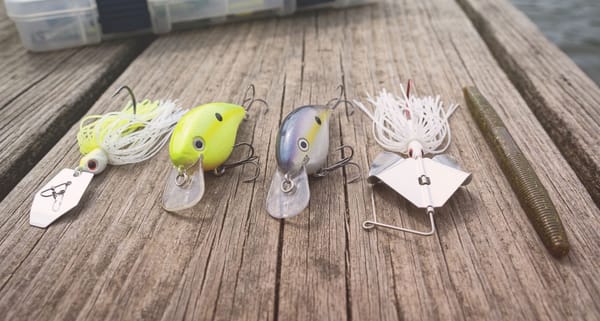
4. Refine Your Bait and Technique
Fish positioning near inflows often requires specific tactics. Consider:
- Using moving baits like spinnerbaits or crankbaits to mimic prey caught in the current.
- Casting upstream and retrieving with the flow for a natural presentation.
5. Combine StreamFlow with Other Layers
Deep Dive’s StreamFlow layer becomes even more powerful when used alongside other map layers. For example:
- Pair it with the Water Clarity layer to target inflow areas with ideal visibility.
- Use the Wind Effects layer to find areas where wind and inflow combine for heightened fish activity.
Get Started with StreamFlow Today
The StreamFlow map layer is now available in the Deep Dive app, and it’s ready to help you elevate your fishing game. Whether you’re a seasoned angler or new to the sport, this tool provides the insights you need to make smarter decisions on the water.
Download the Deep Dive app today and start exploring the StreamFlow layer to unlock new fishing opportunities. With this feature at your fingertips, you’ll never miss another chance to capitalize on the dynamic movement of water—and the fish that follow.